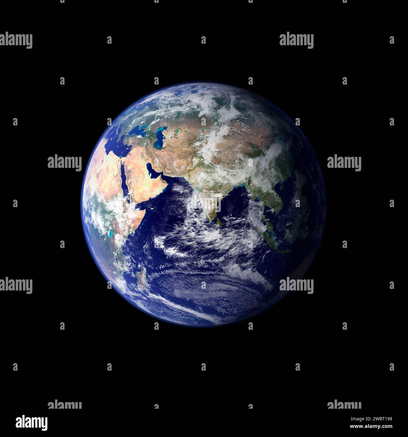
EARTH, sol SYSTEM - juin - septembre 2001 - cette image spectaculaire est l'image en couleurs vraies la plus détaillée de toute la Terre à ce jour. À l'aide d'une collection de
4000 x 4000 px | 33,9 x 33,9 cm | 13,3 x 13,3 inches | 300dpi
Date de la prise de vue:
8 juillet 2019
Informations supplémentaires:
EARTH, SOL SYSTEM - Jun - Sep 2001 - This spectacular image is the most detailed true-color image of the entire Earth to date. Using a collection of satellite-based observations, scientists and visualizers stitched together months of observations of the land surface, oceans, sea ice, and clouds into a seamless, true-color mosaic of every square kilometer (.386 square mile) of our planet. Much of the information contained in this image came from a single remote-sensing device-NASAÕs Moderate Resolution Imaging Spectroradiometer, or MODIS. Flying over 700 km above the Earth onboard the Terra satellite, MODIS provides an integrated tool for observing a variety of terrestrial, oceanic, and atmospheric features of the Earth. The land and coastal ocean portions of these images are based on surface observations collected from June through September 2001 and combined, or composited, every eight days to compensate for clouds that might block the sensorÕs view of the surface on any single day - Image: Geopix/NASA