2473 x 3880 px | 20,9 x 32,9 cm | 8,2 x 12,9 inches | 300dpi
Date de la prise de vue:
1837
Lieu:
Norfolk
Informations supplémentaires:
Cette image peut avoir des imperfections car il s’agit d’une image historique ou de reportage.
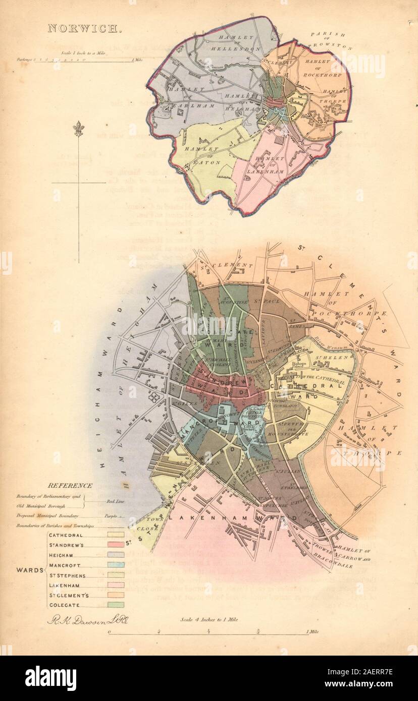
Norwich. Artist/engraver/cartographer: Robert K. Dawson Lieut. R.E. . Provenance: "Reports of the Commissioners appointed to report and advise upon the Boundaries and Wards of certain Boroughs and Corporate Towns in England and Wales. Part I." Presented by His Majesty's command /060117/ [Reform Act boundary report]. Type: Antique lithographic map with original hand colour. The map was published a few years after the 1832 Reform Act, within the 1837 Boundary Commission report to the House of Commons. Most of these maps shows the existing municipal borough boundaries in green, the parliamentary boroughs (if different) in red, and the proposed boundary in purple. The boundaries were used to determine the parliamentary consituencies at the time.