5210 x 3448 px | 44,1 x 29,2 cm | 17,4 x 11,5 inches | 300dpi
Date de la prise de vue:
2000
Informations supplémentaires:
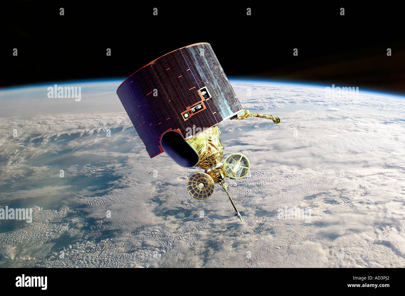
GOES Satellite Provision of timely global weather information including advance warning of developing storms is the primary function of the U S GOES meteorological program To provide more complete data a trio of Geostationary Operational Environmental Satellites known as GOES D E F was launched and operated by the National Oceanic and Atmospheric Administration NOAA as part of the Global Weather Watch. The Geostationary Operational Environmental Satellite (or GOES) program is a key element in United States' National Weather Service (NWS) operations. GOES weather imagery and quantitative sounding data are a continuous and reliable stream of environmental information used to support weather forecasting, severe storm tracking, and meteorological research. Evolutionary improvements in the geostationary satellite system since 1974 (the launch of the first Synchronous Meteorological Satellite, SMS-1) have been responsible for making the current GOES system the basic element for U.S. weather monitoring and forecasting. Spacecraft and ground-based systems work together to accomplish the GOES mission.