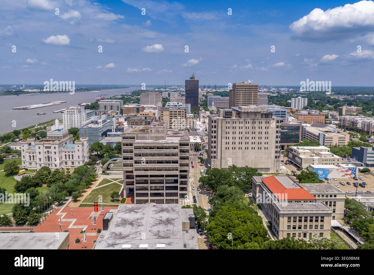
Une photographie aérienne par drone du gouvernement et du quartier civique du centre-ville de Baton Rouge, en Louisiane, montrant l'ancien Capitole de l'État de Louisiane (le Gothi
6144 x 4096 px | 52 x 34,7 cm | 20,5 x 13,7 inches | 300dpi
Date de la prise de vue:
29 avril 2026
Lieu:
Baton Rouge
Informations supplémentaires:
An aerial drone photograph of the government and civic district of downtown Baton Rouge, Louisiana, showing the Old Louisiana State Capitol (the Gothic Revival castle) visible at lower left amid its grounds, the broader downtown skyline with the Art Deco Louisiana State Capitol tower in the background, and the Mississippi River visible on the far horizon. The image captures the rich layering of Baton Rouge's civic and governmental landscape — from the antebellum Gothic Revival Old State Capitol to the Art Deco New State Capitol tower completed in 1932, with decades of commercial and governmental development between. Government office buildings, commercial towers, and civic facilities are spread across the downtown, with the green spaces of the Capitol grounds and riverfront park providing visual relief between the urban fabric and the river. Baton Rouge's role as Louisiana's seat of government has shaped its downtown character for nearly two centuries.