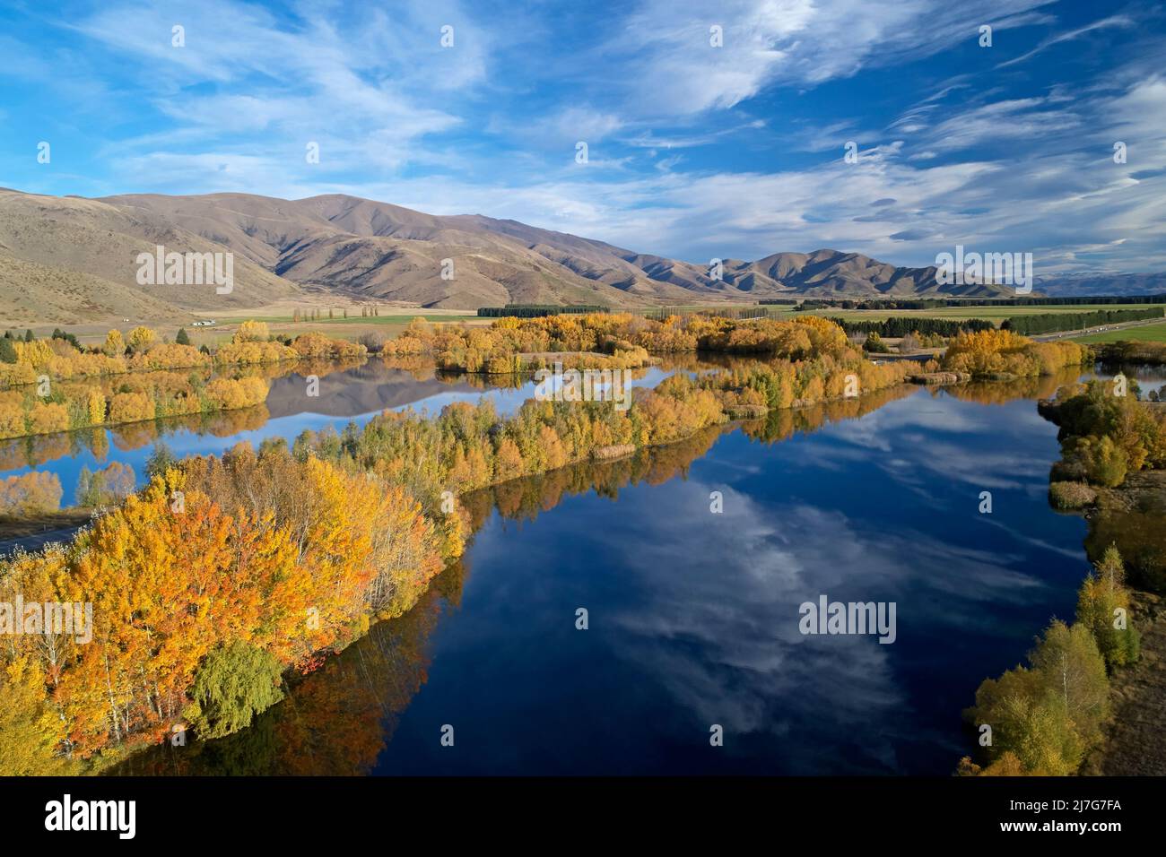
Wairepo Arm (à gauche), State Highway 8 et Kellands Pond (à droite), Twizel, Mackenzie District, North Otago, South Island, Nouvelle-Zélande - drone aérien
RMID:ID de l’image:2J7G7FA
Détails de l'image
Contributeur:
David Wall / Alamy Banque D'ImagesID de l’image:
2J7G7FATaille du fichier:
56,9 MB (2,5 MB Téléchargement compressé)Autorisations:
Modèle - non | Propriété - nonUne autorisation est-elle nécessaire?Dimensions:
5464 x 3640 px | 46,3 x 30,8 cm | 18,2 x 12,1 inches | 300dpiDate de la prise de vue:
23 avril 2022Lieu:
Wairepo Arm and Kellands Pond, near Twizel, Mackenzie District, North Otago, South Island, New Zeala