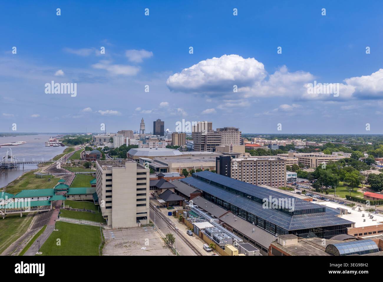
Photographie aérienne par drone du centre-ville de Baton Rouge, Louisiane, montrant le quartier riverain de la ville avec l'exposition fac du Baton Rouge River Center
6144 x 4096 px | 52 x 34,7 cm | 20,5 x 13,7 inches | 300dpi
Date de la prise de vue:
29 avril 2026
Lieu:
Baton Rouge
Informations supplémentaires:
An aerial drone photograph of downtown Baton Rouge, Louisiana, showing the city's riverfront district with the Baton Rouge River Center exhibition facilities in the foreground, the city's downtown skyline in the middle ground, and the Louisiana State Capitol tower — the tallest state capitol building in the United States at 450 feet — rising prominently on the horizon. The Mississippi River is visible at left, with the riverfront park and promenade running along the bank. Baton Rouge's downtown has undergone significant revitalization, with riverfront improvements and cultural facilities enhancing the appeal of the city center. The State Capitol tower, an Art Deco skyscraper completed in 1932 under Governor Huey P. Long, remains the defining landmark of the Baton Rouge skyline and a symbol of Louisiana's distinctive political history. The Old Louisiana State Capitol (the Gothic Revival castle) is visible along the riverfront at left.