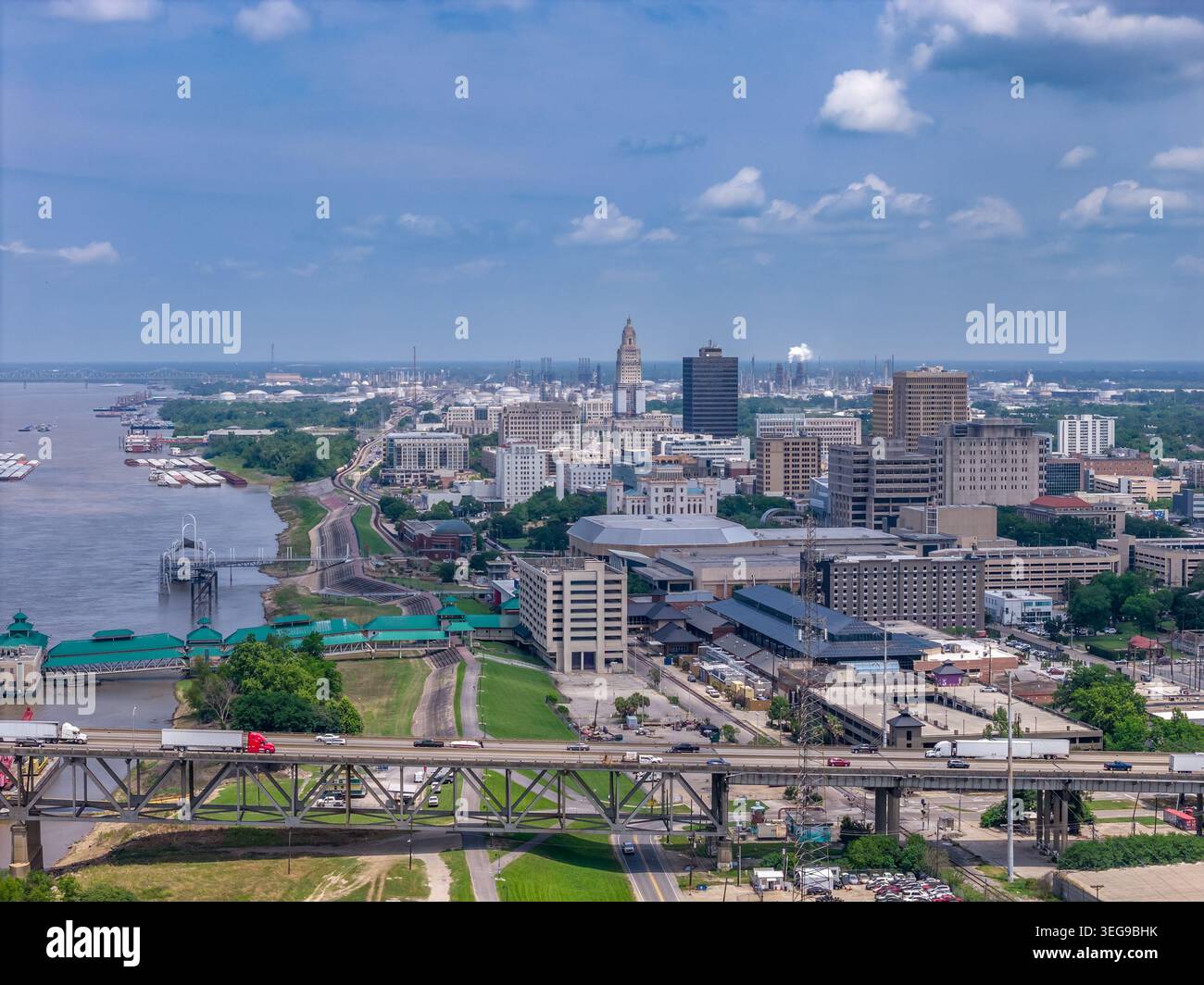
Une photographie aérienne par drone du centre-ville de Baton Rouge, en Louisiane, regardant en aval le long du fleuve Mississippi, montrant la route surélevée et le chemin de fer
4024 x 3016 px | 34,1 x 25,5 cm | 13,4 x 10,1 inches | 300dpi
Date de la prise de vue:
29 avril 2026
Lieu:
Baton Rouge
Informations supplémentaires:
An aerial drone photograph of downtown Baton Rouge, Louisiana, looking downstream along the Mississippi River, showing the elevated highway and railroad infrastructure running along the riverbank, the downtown skyline with the Louisiana State Capitol tower rising above the commercial core, and the broad Mississippi River at left carrying barge and commercial traffic. The elevated transportation corridor along the Baton Rouge riverfront — combining elevated roadways with active rail lines — reflects the city's historic role as a major transportation hub at a strategic river crossing point. The downtown skyline features the distinctive Art Deco Louisiana State Capitol tower, the River Center arena, and a mix of government, commercial, and residential high-rises. The far horizon shows the Horace Wilkinson Bridge spanning the river in the distance.